Anglers Asked to Help Monitor Striped Bass Fishery
February 27, 2025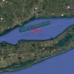
Should Long Island Sound Be Renamed Gulf of Connecticut?
March 5, 2025

Welcome to Candlewood Lake
As the biggest lake in the state, Candlewood serves as the freshwater boating Mecca of Connecticut while managing to offer places to get away from the crowds
CANDLEWOOK LAKE STORY
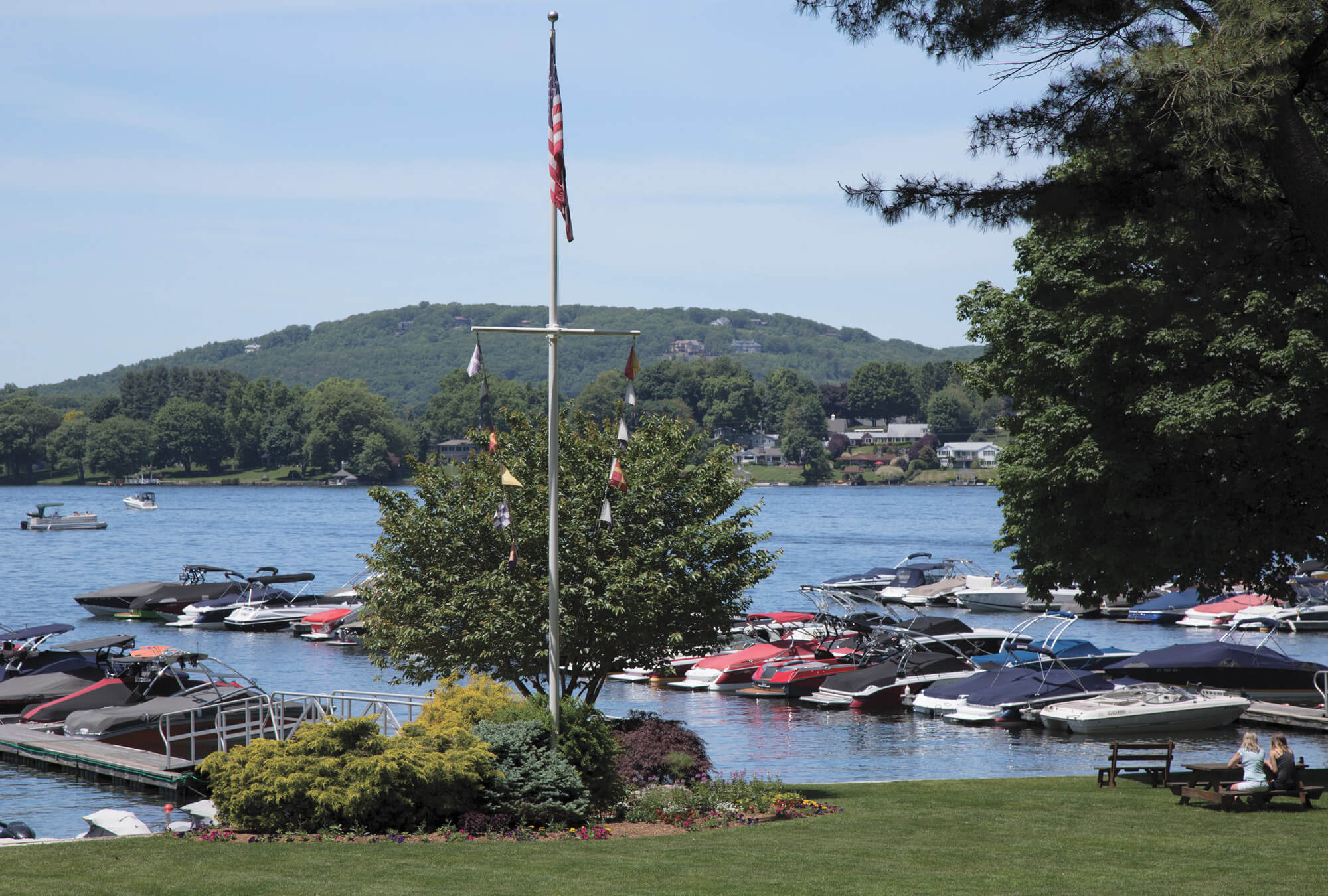
Candlewood East is the largest marina on the lake, and features manicured grounds, plenty of slips, a service center and a well-stocked ship’s store.
Created in 1928 by the Connecticut Light & Power Company as a hydropower source, 5,420-acre Candlewood Lake—the largest lake in Connecticut—is bordered by the city of Danbury and the towns of Brookfield, New Fairfield, New Milford, and Sherman. The name “Candlewood” comes from New Milford’s Candlewood Mountain, which in turn was named for the candlewood tree, whose sapling branches were sometimes used as candles by early settlers. Fun fact.
Today, Candlewood serves as a playground for all types of boaters, anglers, and paddlers, which means it can get pretty busy at times. Most boaters tend to congregate in the lower part of Candlewood, which is dotted by islands and coves where you can beach your vessel and simply hang out.
For those interested in watersports, there are open areas that provide good venues for wakeboarding, waterskiing, wake surfing, and tubing, including the waters off Hollywyle Park in New Fairfield. A small cove in the same area is a favorite spot to anchor and swim. Another popular hangout is Chicken Rock in Sherman, where boaters gather to socialize, climb the rocks, and jump into the water from a height of 30 feet or more.
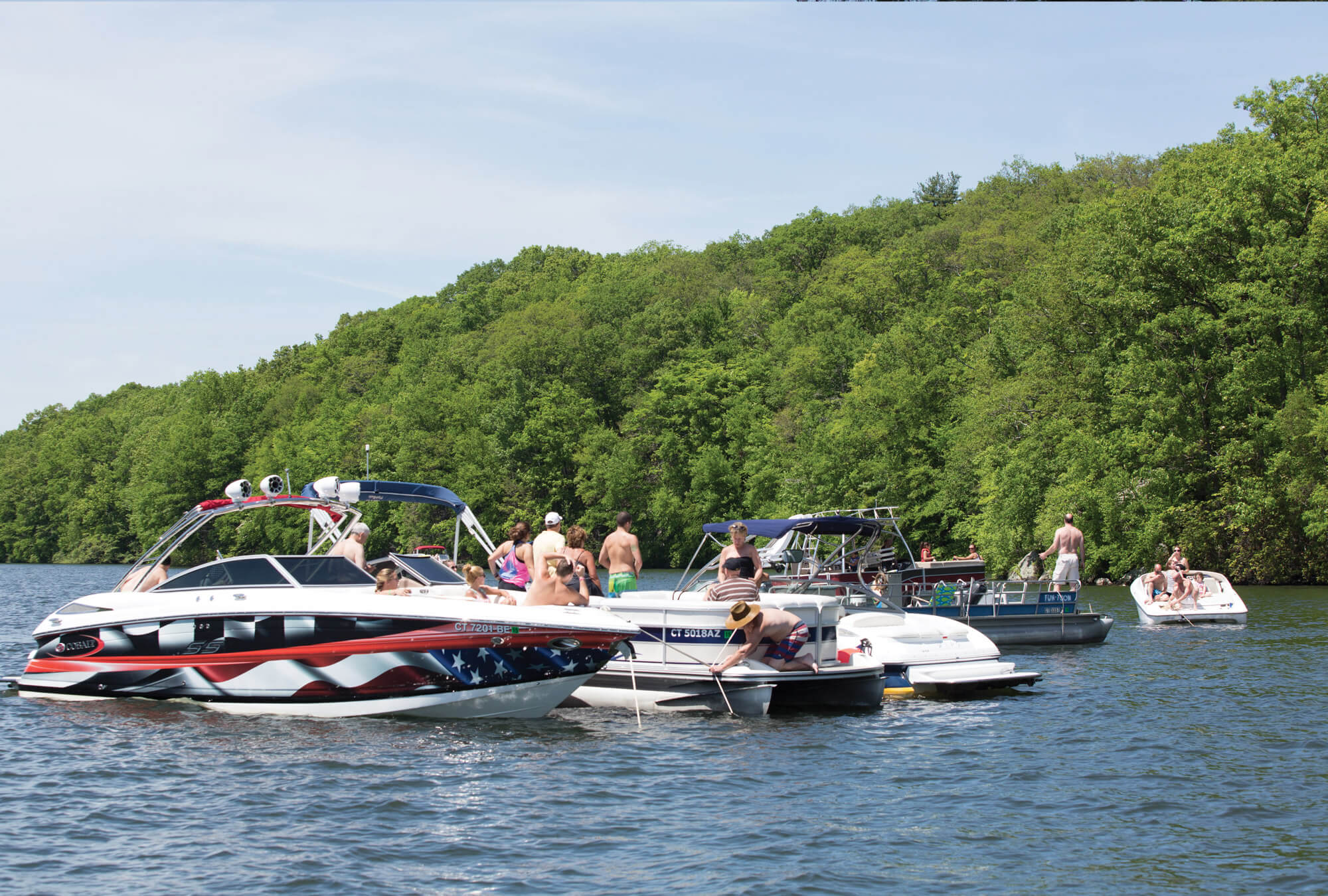
Candlewood’s many protected coves are the scene of weekend raft-ups.
Naturally, Candlewood is a major destination for trailer-boaters, although its waters are restricted to vessels under 26 feet unless approved by special permit. The two main launch ramp options are Lattins Cove in Danbury and Squantz Cove in New Fairfield. If you need fuel, Pocono Point Marina in Danbury, Echo Bay Marina in Brookfield, and Gerard’s Waters Edge Marina in New Milford all have gas docks.
As per the Candlewood Lake Authority, boaters must adhere to a 45 mph speed limit during the day. The limit drops to 25 mph from a half hour after sunset to a half hour after sunrise. No-wake zones exist in Lattins Cove, from the southern end of the cove north 2,500 feet, and in Squantz Cove, from the causeway south 1,500 feet. Powerboaters must also possess a Safe Boating Certificate from the state or equivalent proof of safe boating certification from another state.
Any ledges and rocks on Candlewood are well marked, but boaters new to the lake need to pay attention to the buoys and give the hazards a five- to ten-foot berth. Also, it’s important to note that lake levels can fluctuate by as much as 2.5 feet during the season. Current lake level info is available by calling (888) 417-4837. A detailed map of the lake is published by Fishing Hot Spots. It shows everything a boater needs to know—except for places to eat.
Speaking of which, the only lakeside dock-and-dine option is Down the Hatch in Brookfield. It offers outdoor seating from April through October, and its menu features burgers, appetizers, sandwiches, wraps, and salads.
CANDLEWOOD LAKE GALLERY


Written by Michele Herrman
Michele is a freelance lifestyle and travel writer based in New York. Her work has been featured in such publications as Forbes, Travel and Leisure, Time Out, USA Today, Smithsonian Magazine, and Lonely Planet. Learn more about Michele Herrmann here.

Photographed by Caryn B. Davis
Caryn has specialized in architecture, interiors, and landscape design photography for 25 years. She is a creative collaborator, art lover, beauty seeker, a journalist, and a faithful student and traveler of the world. She has produced 3 photography books (Connecticut Waters, A Connecticut Christmas, and Connecticut Gardens), and has contributed to a long list of regional and national publications including New England Boating. Visit her website Caryn B. Davis Photography to view her work and accomplishments
REGIONAL NEWS